
Detail & Level Surveys
We locate everything on your land to create a detailed and accurate picture of your property.
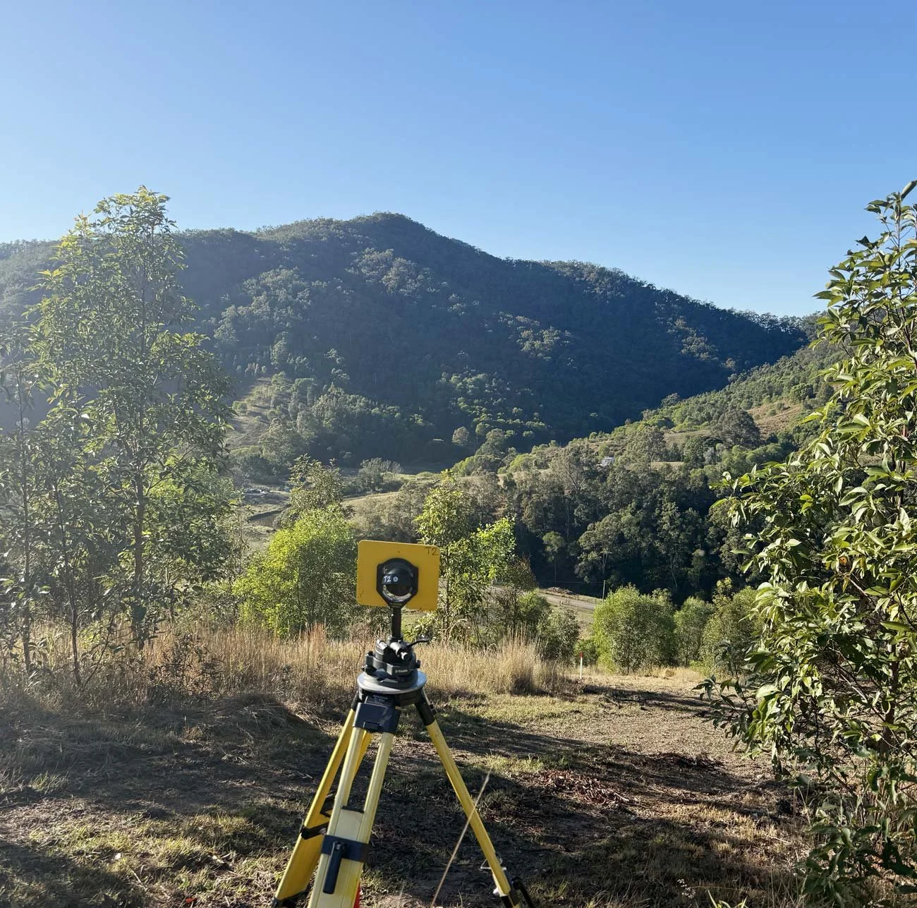
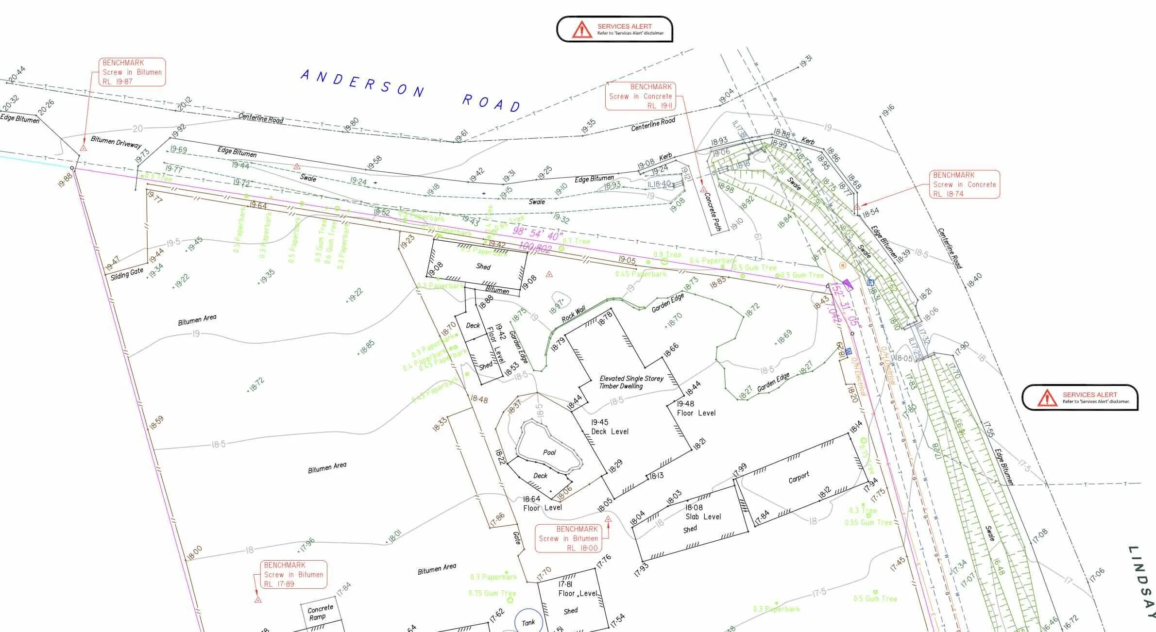
A detail and level survey (sometimes called a contour or topographic survey) provides a precise snapshot of your property’s existing conditions. It shows the position of all key features, both natural and man-made, so that you can design, plan, or develop with confidence.
At Lawson Surveys, we’ve been delivering accurate, reliable detail and level surveys across Brisbane and South East Queensland for more than 55 years.
What is a Detail & Level Survey?
A Detail & Level Survey measures and maps everything on your site, including:
Existing buildings and structures
Ground levels and contours
Driveways, retaining walls, and surface features
Trees, services, and visible utilities
This information is used by architects, engineers, builders, and planners to design within real-world site conditions, helping avoid costly errors and delays later in the project.
When you might need a Detail & Level Survey
Before designing renovations, extensions, or new builds
For development applications (DA) or council submissions
Prior to subdividing or amalgamating land
To confirm drainage, gradients, or ground levels
To support engineering, architectural, or landscape design
FAQs
-
A Detail & Level Survey records all visible features and levels within a site, while a Boundary (cadastral) Survey defines legal property boundaries. Many development projects require both.
-
All surveys are completed by Registered Surveyor using precise equipment. Your plans are prepared to professional standards for accuracy and reliability.
-
~90% of the time. Most councils require an up-to-date Detail & Level Survey as part of a development application (DA). It helps planners and engineers assess drainage, access, and site impacts.
-
Most residential surveys are completed within a few days, depending on site size and access. Larger or sloped sites may require additional time for data collection and drafting.
-
Yes. We can complete a Detail & Boundary Survey together, saving time and ensuring all data aligns accurately across your project.
Other services
SUBDIVISION & DEVELOPMENTS
Turn one block into many, or bring multiple lots together. We manage the survey side of subdivisions and titling of your land.
TOWNHOUSE & UNIT DEVELOPMENTS
We provide detail & level surveys, construction set out and titling surveys for residential developments.
PROPERTY BOUNDARY SURVEYS
Establish where your land begins and ends to avoid disputes. Our team ensures your property lines (identification surveys) are accurate and legally recognised.